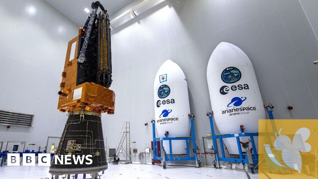
The European Space Agency (ESA) has successfully launched the Biomass satellite, a groundbreaking mission designed to enhance our understanding of global forests and their critical role in carbon storage. Utilizing advanced P-band synthetic aperture radar technology, Biomass can penetrate dense forest canopies, enabling unprecedented accuracy in measuring carbon stocks . This capability is vital given that tropical forests absorb approximately 75% of the world's carbon dioxide emissions; however, their inaccessibility has historically hindered effective data collection on their health and changes over time.
The European Space Agency (ESA) successfully completed the launch of its Biomass satellite on Tuesday from the European Spaceport in Kourou, French Guiana.
Manufactured by Airbus Defence and Arianespace, the satellite is designed to advance our understanding of tropical forests, particularly by measuring how much carbon they store.
The successful launch was welcomed by both the space agency and the industry partners who worked on the project.
The rocket took off from ESA's Kourou station in French Guiana and flying over the Amazon, one of the rainforests it will study.
The satellite on board has been affectionately named "space brolly" for its giant 12m diameter antenna which will send out signals.
"We really want to interrogate these forests. We can actually look inside," Prof John Remedios, director of The National Centre for Earth Observation, which proposed the idea to ESA, said after the launch.
He said that it would be a major achievement "to actually know for the first time with high accuracy how much is actually in the Amazon, Congo, Indonesia".
The antenna is using P-band radar which has a very long wavelength - allowing it to see deeper inside forests and reveal branches and trunks obscured by the canopy.
"Most radars that we have in space today take wonderful images of icebergs, but when they look at forests they see the tops of the forest, the little twigs, the little leaves, they don't penetrate down into the forests," explained Dr Ralph Cordey, head of geosciences at Airbus.
The satellite will conduct multiple passes over rainforests and use a CT scan-like method to analyse “slices” of forest, creating a layered view of the woody biomass. This material acts as a key proxy for estimating how much carbon dioxide is being stored and kept out of the atmosphere.
Previously, researchers have attempted to measure carbon by analysing individual trees and extrapolating the data across entire ecosystems—a process Professor Mat Disney of University College London called “a huge challenge.”
Biomass represents a significant technological advancement in environmental monitoring. For the first time, it will create comprehensive three-dimensional maps of Earth's forests, detailing their size and weight while also tracking alterations due to deforestation . This information is essential for understanding the carbon cycle and informing climate strategies. The collaboration between British engineers at Airbus and researchers from the University of Sheffield underscores a commitment to leveraging space technology for climate action .
Read more
Mike Peters, Voice Behind The Alarm’s Anthemic Sound, Dies at 66 Match preview for Real Betis vs Fiorentina: lineups and live broadcastSarah H
Also on site :
- Expert tips on how to save money when you have children
- Gabby Logan says she ‘cried into her sofa’ after Strictly Come Dancing
- How to manage your garden in a heatwave

