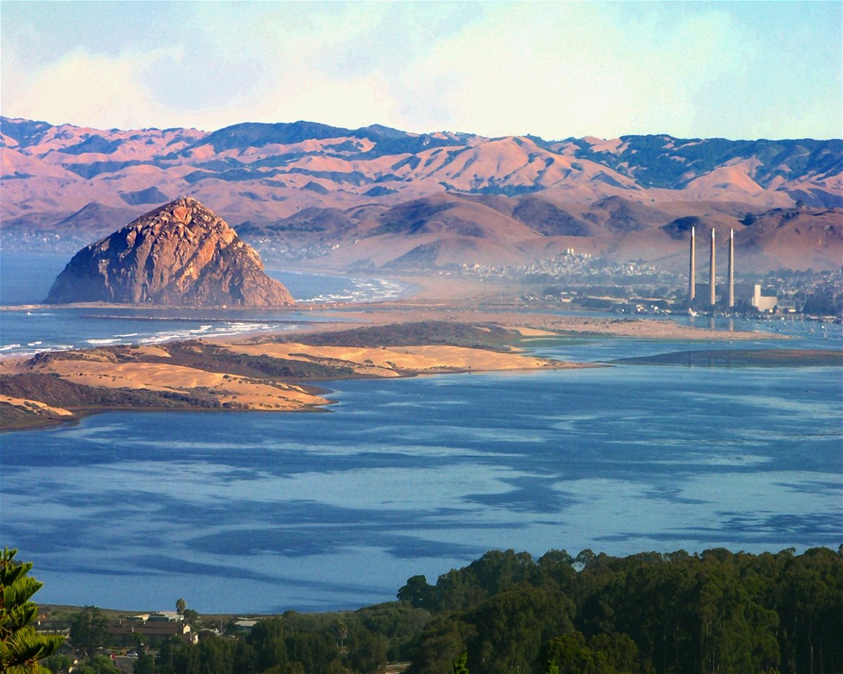
Despite the threatening clouds, precipitation was once again very spotty and mostly non existent. The bulk of the storm was centered way too far north and this is why it stayed dry for most of today. For the overnight and in to Monday, look for patchy low lying fog which could be dense for some areas. Overnight lows will dip in the 40's and afternoon highs on Monday should warm in to the upper 50's and 60's. Sprinkles are possible late Monday as the next storm system moves in to Northern California.
Surf will stay up for the next few days with Warnings and advisories posted up and down the coast. The current swell will fad a bit Monday and then another swell comes ashore by early Tuesday. This means waves, especially along west and northwest facing beaches will be in the 8 to ten foot range along the South Coast and in the 8 to 12 foot range for Ventura County. North of Point Conception, waves could easily hit 15 feet plus. Tuesday could be about 2 to 3 feet bigger! Waves will start to ease by early Christmas day.
Looking ahead, stubborn high pressure will continue to keep the procession of storms to our north with just another light chance event expected on Christmas Eve. Central Coast could see maybe up to half an inch with lighter amounts south, especially below Point Conception. Christmas should be dry with northerly winds and beyond that, just a couple of light chances arrive as we head toward and through the last weekend of 2024. Let's hope January delivers some much needed rainfall and snow for our local mountains.
Light rain just before Christmas, Monday dec 23rd forecast News Channel 3-12.
Read More Details
Finally We wish PressBee provided you with enough information of ( Light rain just before Christmas, Monday dec 23rd forecast )
Also on site :

