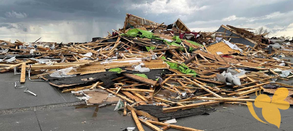
On a fateful day in Southeast Nebraska, a massive tornado ripped through the region, leaving destruction and devastation in its wake. The powerful storm tore through homes, businesses, and farmland, leaving a trail of destruction that will take years to rebuild.
The tornado's ferocity was unmatched, with winds reaching speeds of over 200 miles per hour. Entire neighborhoods were reduced to rubble, with roofs torn off houses and trees uprooted from the ground. The community was left reeling from the sheer power of nature's wrath.
Taylor Nicolaisen, a meteorologist with the National Weather Service in Valley, said Friday was the most tornado warnings the service had ever issued in a single day, at least 41. The previous record was May 12, 2023, with 33 warnings.
Preliminary reports showed potentially record force for a metro area from the tornadoes that hit Douglas County, meteorologists said. But people will need to verify damage on the ground before classifying tornadoes capable of being stronger than an EF-3.
“This is pretty historic,” he said. “For people who worry about this type of thing, this was a once-in-lifetime event. This only happens every few decades. But it could still be deadly and dangerous tomorrow.”
Omaha Fire Chief Kathy Bossman said crews had gone to the "hardest hit area" and had a plan to search anywhere someone could be trapped.
"They're going to be putting together a strategic plan for a detailed search of the area, starting with the properties with most damage," Bossman said. "We'll be looking throughout properties in debris piles, we'll be looking in basements, trying to find any victims and make sure everybody is rescued who needs assistance."
If the atmosphere is able to recharge following morning storminess, new severe thunderstorms will start to bubble up in the afternoon. Areas from northeastern Texas to southern Iowa and western Illinois face the greatest chance for damaging storms.
The storms could unload damaging wind gusts and large hail, but an isolated tornado or two is also possible.
Some storms, especially in the southern portion of the risk area, could remain severe as they push east Sunday night.
Heavy, flooding rainfall is possible, especially in parts of the Lower Mississippi Valley.
By Monday, severe weather is forecast to become much more isolated. Any developing storms may be confined to the Gulf Coast.
Tornado Watches have been issued by the Storm Prediction Center from eastern Nebraska through East Texas and cover at least half a dozen states. FOX Weather confirmed that severe thunderstorms will likely be in parts of eastern Nebraska and impact other surrounding states.
Read more
Maverick 101-90 Clippers, Game 3 Game 3 recap: Timberwolves vs. Suns 126-109
Sarah H
Also on site :
- Netflix star killed in Hamptons hit-and-run went from ‘Million Dollar Beach House’ to ‘homeless by choice’
- 168-Key Hotel Bourré Bonne Opens in Louisville
- Good Morning Britain’s Kate Garraway at centre of awkward co-star blunder

